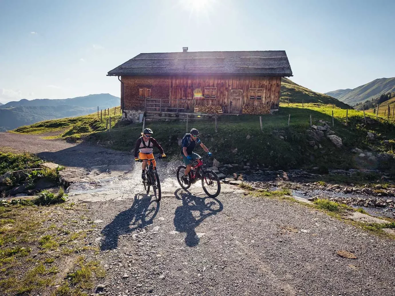
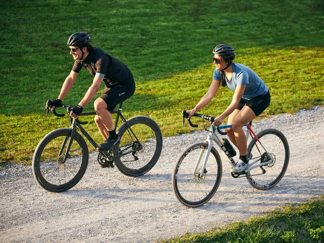
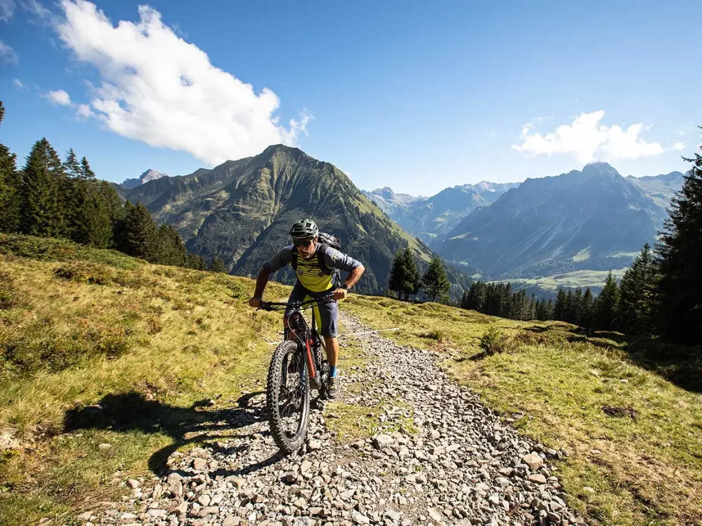
Cycling has become a universe of its own in the 21st century. But do you still call these things “bicycles” today? Mountain bikes, downhill bikes, dirt bikes, cross bikes, freeride bikes, trail bikes, enduro bikes, trekking bikes, e-bikes, city bikes… and last but not least, racing bikes, you can’t do that in the Bregenzerwald not only easy to borrow, but also to use to your heart’s content, from the taster course in the bike school to the absolute professional level. In the following we present popular bike routes in the Bregenzerwald.
This round is a highlight, especially on hot summer days, because the tour leads along the Mellenbach through a forest into the Mellental. It starts in Mellau, on a forest path in the direction of Möslealpe to the Bleichtenaple. There the highest point of the tour is reached. It then continues to the Lindachalpe and then back to Mellau.
Difficulty: medium
Route: 18,3 km
Duration: approx. 3 h


The route begins with a steady climb through the towns of Hof, Freien, Ratzen and Maien to the Lorena Pass. Then turn left towards Bergvorsäß, past the Geißkopf and down to the Oberen Geißkopf. Continue downhill in the direction of Eixer with a beautiful view. Via the country road to Bödele, then sharp left onto the gravel path to the dairy. To the Schwendealpe through the forest, downhill to Schauner and Kehlegg.
This is followed by the demanding part: more than 9 kilometers and 500 meters in altitude uphill to the Weißenfluhalpe with a great view. Past the Bregenzer Hütte for a break, then via the Klausberg mountain pasture back to Schwarzenberg for a successful day of cycling.
Difficulty: medium
Route: 32,9 km
Duration: approx. 7 h
The tour starts with a steep ascent over the Argen Gorge to the Argenvorsäß. This gorge is one of the most beautiful in Vorarlberg, characterized by interesting rock formations and impressive gorge walls from 80 to 100 meters high. Opposite extends the Auer Ried, a nature reserve that offers a habitat for over 50 endangered plant species. It goes uphill on pleasant alpine paths to the Vorderkriegbodenalpe and on to Damüls.
A mountain road and later an alpine path leads to the Ugaalpe, from which there is a wonderful view of the Damülser Mittagsspitze. A steep descent takes you to the stream crossing. After a slight incline you reach the Mittelargenalpe. From here it goes back into the valley to Au (from Argenwald on the road).
Difficulty: difficult
Route: 33 km
Duration: approx. 6 h
