The supporters of this sport appreciate the experience of nature, the original, about ski tours. There are many of these unspoilt landscapes in the Brandnertal, where tourers can concentrate on themselves and their sport. We have put together a few of them as examples for you.
The so-called Schattenlagant Alp area is a popular side valley in Brand, even in winter.
In addition to tobogganing and winter hiking, it is also possible to reach the Schattenlagandhütte by ski touring. You can reach the start of this tour variant directly at the end of Brand (approx. 300m after the Palüdbahn). Please note the possible oncoming traffic with various snow equipment. For further information about opening times and snow conditions, please call T +43 676 95 62 502 (Schattenlaganthütte). Please note that the entire area may be closed due to the risk of avalanches.
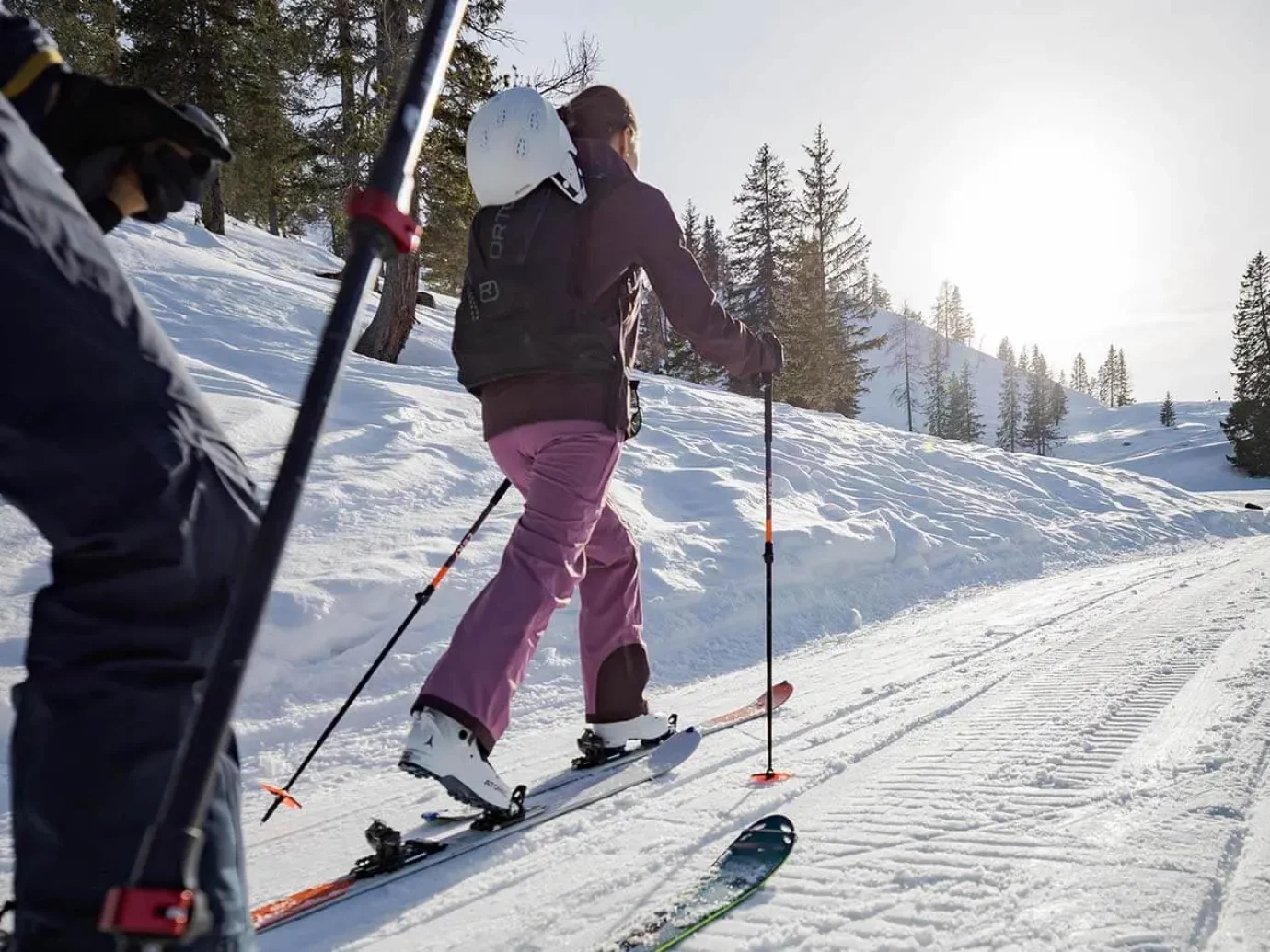
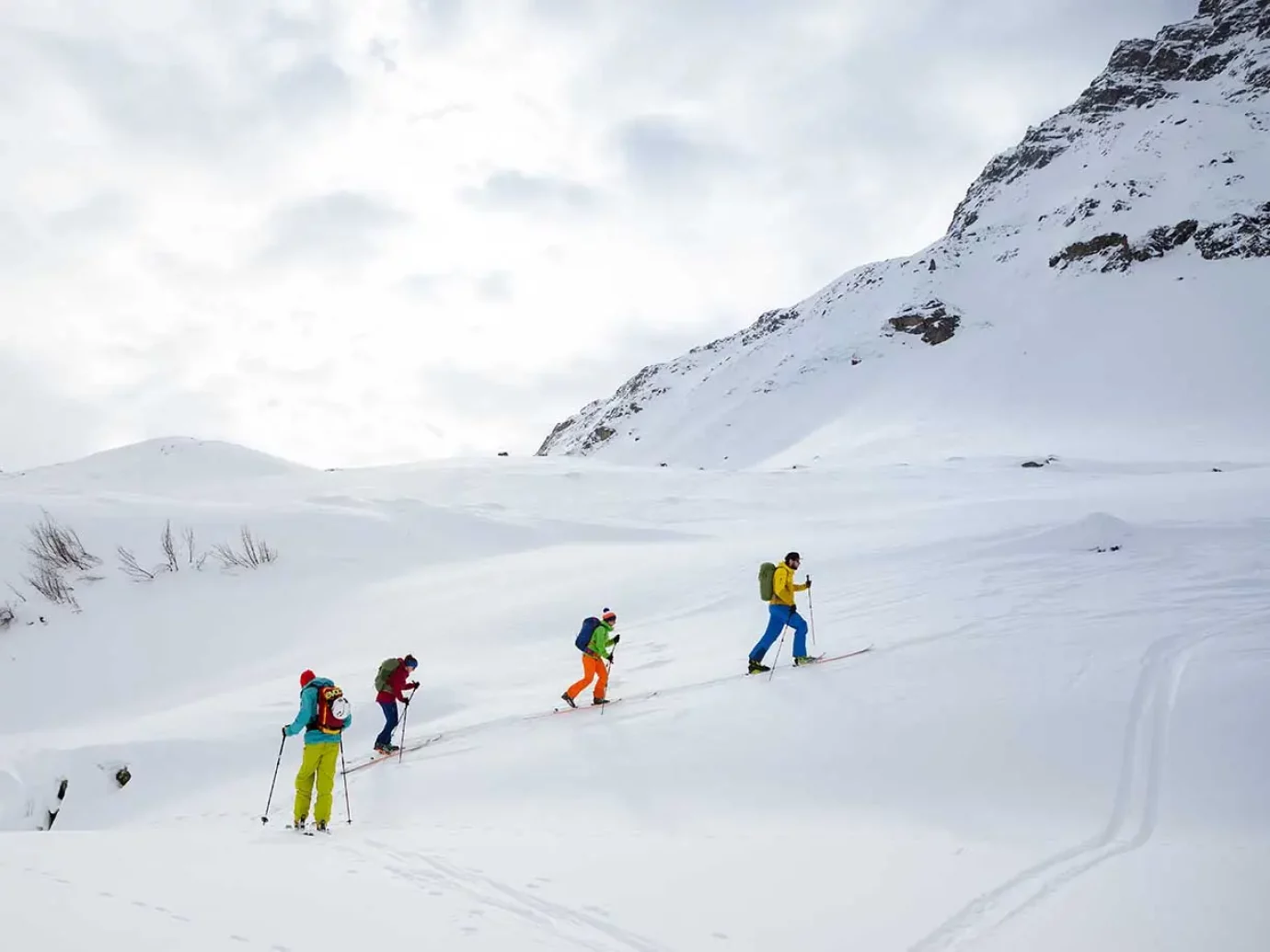
The absolute highlight among ski tours is the ski tour to the highest peak of the Rätikon. The very long, conditionally demanding tour with several steep sections is rewarded with a magnificent panoramic view from the summit.
Drive from the Innertal to the Lünerseebahn valley station until you reach the end of the valley and follow the right-hand gully until you reach the summer path. Usually without skis, it goes over the Bösen Tritt and over the subsequent, steep flank to the Lünersee. The further ascent takes place via the western Lünersee accompanying path. If the conditions are good, you can start crossing the flank from the middle of the Lünersee. You go slightly uphill into a hollow that leads to the Totalp hut. After the Totalp hut on the left ridge to the Schesaplana border ridge. Follow this, later it goes right into the ravine and steeply to the summit ridge just to the left of the highest elevation. The last few meters are mostly on foot to the summit cross. The descent is the same as the ascent.
From the piste it’s about 270 m ascent to the valley floor of the lower Zalimalpe. Then follow the supply road on the left side of the valley to the crossroads at the entrance to the Zalim valley. Here you continue on the left supply road into the valley. After the wooded, lowest section in the wide valley floor, it goes up. At the end of the valley you drive over an increasingly steep hollow to just below the height of the Oberzalimhütte and, rising gently, you cross to it to the right. From the hut, which is not serviced in winter, continue to the right and on the right side of a mountain pine-covered ridge to the small shoulder. Now you cross to the left into the steep hollow and in this you go up until you reach the ridge to the right of the summit structure. The ski depot is located under the ridge rocks. Now follow the ridge – avoiding a rocky rise on the left side – to the summit. The descent is the same as the ascent.
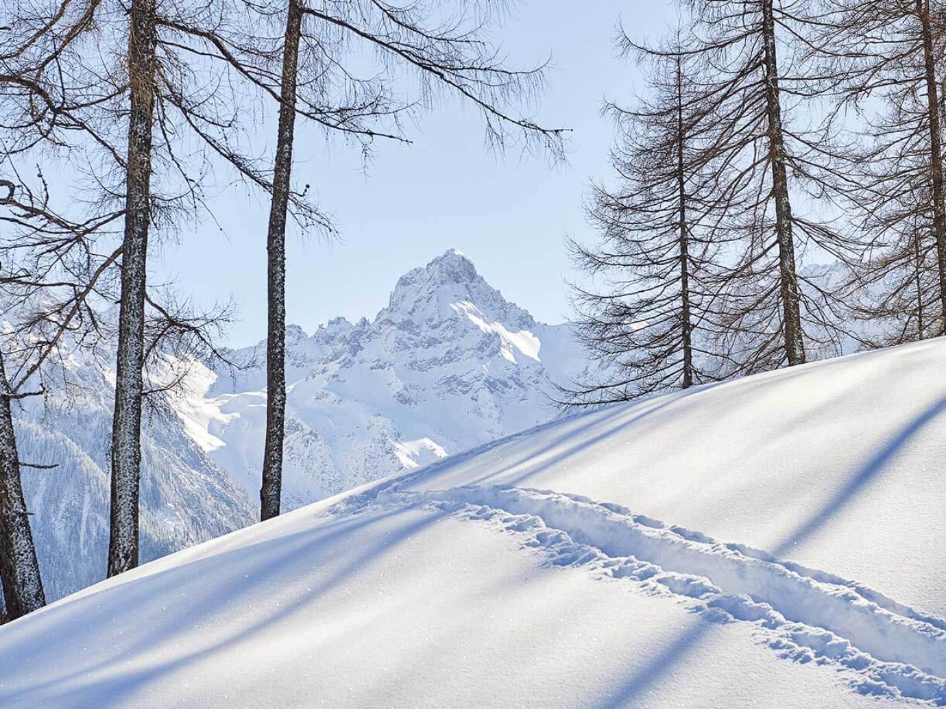
From the Tschengla hiking car park, follow the road to the foot of the slope at approx. 1,230 m. Keep slightly to the right over the mostly open slopes into the leveling of the Furkla, approx. 1,600 m. On the right side of the valley it goes between Schillerkopf and Mondspitze to Unter the yoke and at the end in steep hairpin bends onto the ridge or, if you want to be more comfortable, onto the small shoulder of the slope on the northern slope of the Schillerkopf. The descent is the same as the ascent.
Alternative: Mondspitze, 1,967 M Bürserberg
The Mondspitze is more interesting in late winter due to the heavy growth of mountain pines. The route is the same as that to the Schillermulde up to the leveling. Then it goes straight on to the east ridge of the Mondspitze, stop there and just to the left of the ridge in hairpin bends to the summit. The descent is the same as the ascent.
