Walking in the Brandnertal, in the varied landscapes, is impressive. Even experienced nature lovers are amazed at the varied range of long walks and easy hikes. Countless paths lead from one picturesque place to another. From very short walks to small hikes, you can find pretty much everything in Brandnertal. Of course, we cannot list every possible walk for you here, but these few descriptions should give you an impression of the variety. You should also be certain that a holiday in our apartments definitely means one thing: no boredom!
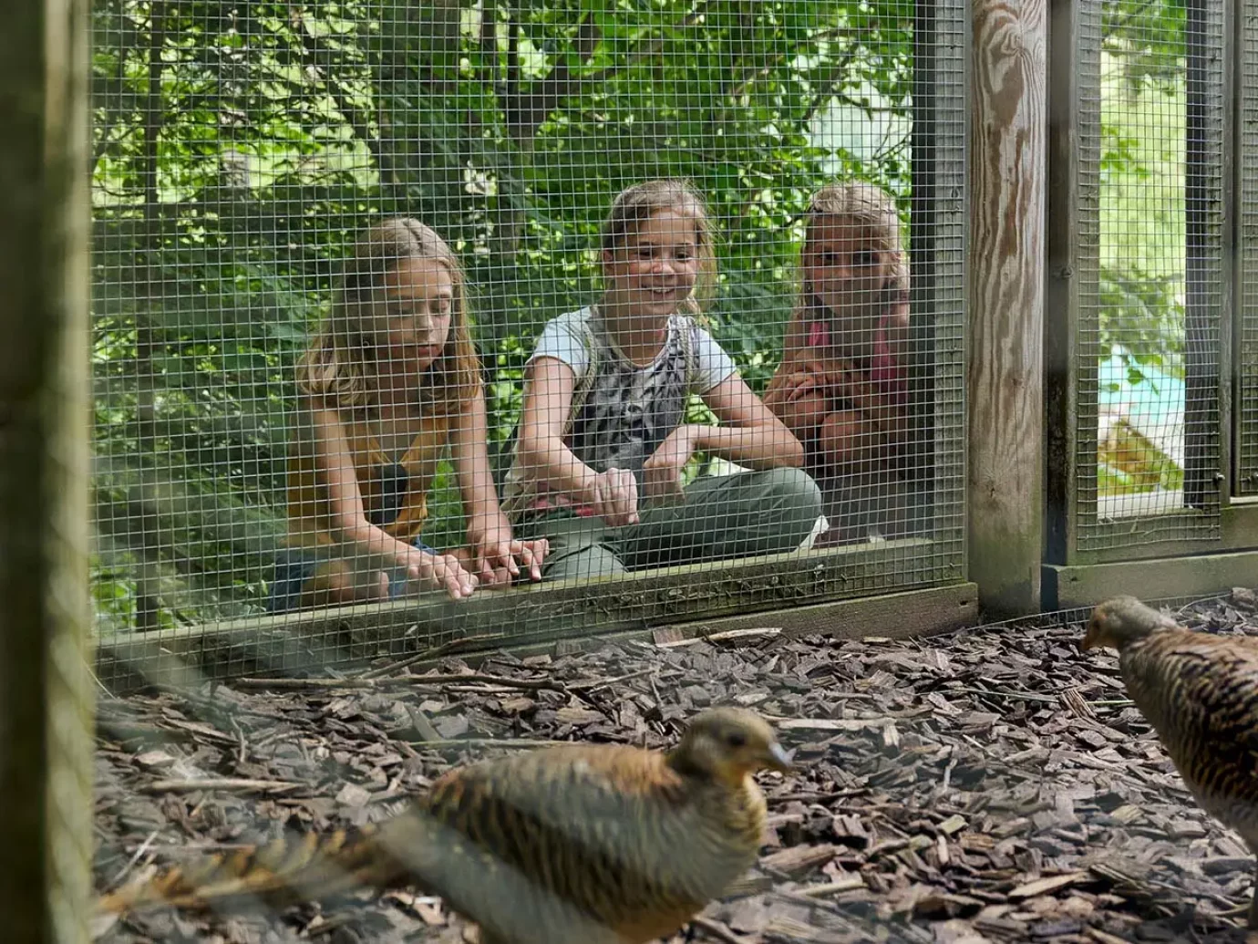
Interactive play stations and various enclosures with rabbits, goats, chickens, cows, horses and sheep can be found over 1.5 km, making this walk an “animal” experience for the whole family. Walk to your destination, the Alvierbad Brand – here you will find refreshment in the natural bathing lake after an eventful walk. Alvierbad–Kneipp facility– Bridge – Playground – Fish pond – Lärchenhof – Viewpoint – Riding stables Beck – Alvierbad.
Starting point: Alvierbad
Walking time: approx. 1.5 hours
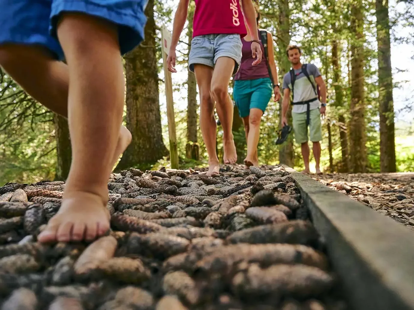
How does gravel, sand and cold mountain water feel on an alp on bare feet? You can discover this feeling and pleasure of walking barefoot, which is unusual for many, on the new, approx. 1.5 km long barefoot path. Float comfortably with the Dorfbahn Brand to the start of the barefoot path.
Tip: The Parpfienzalpe at 1,600 meters above sea level is the only sour cheese alp outside of the Montafon. Let yourself be pampered with homemade products from the alpine dairy!
Starting point: Dorfbahn mountain station
Walking time: approx. 1 hour
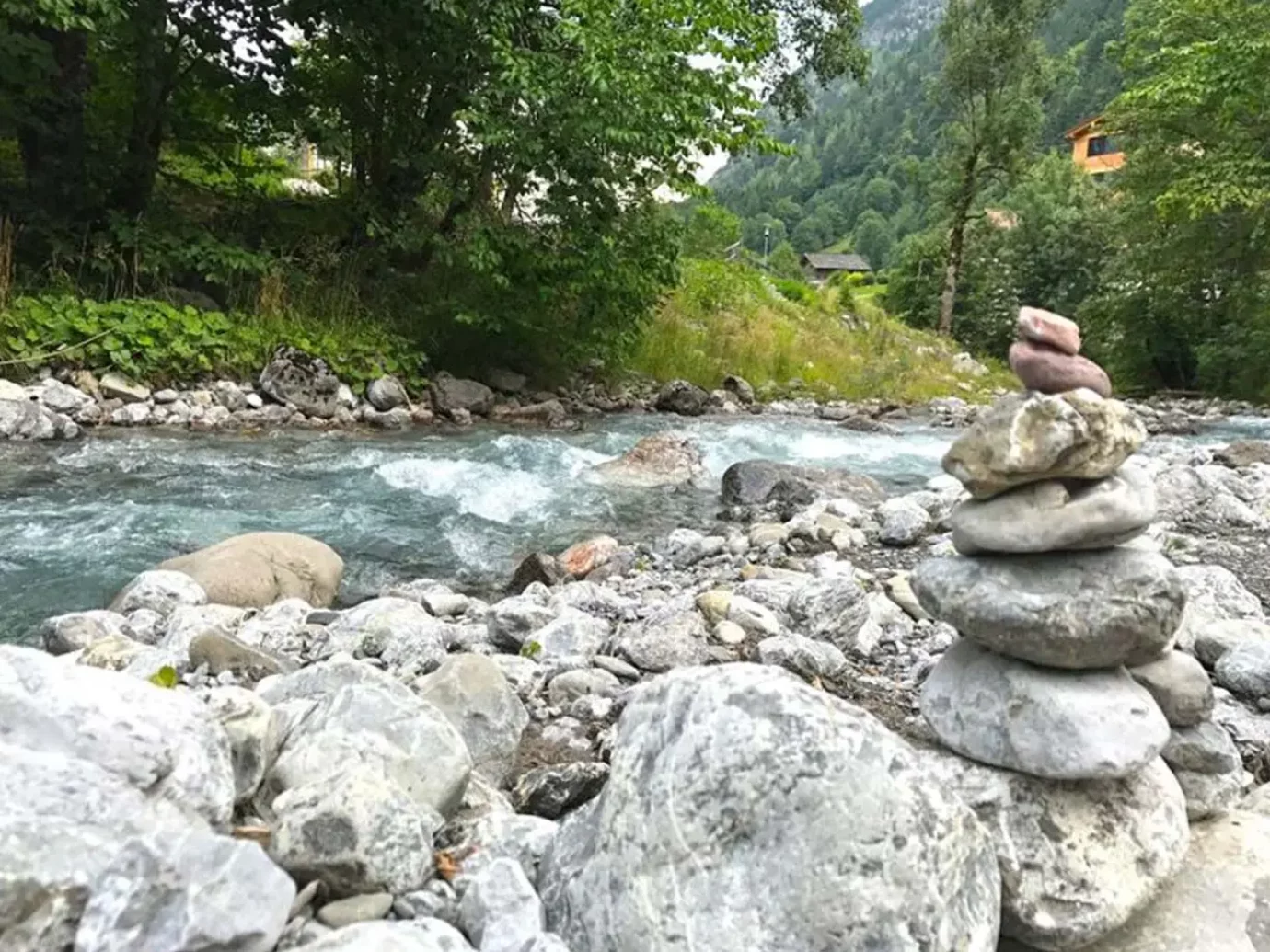
The Alvierbachweg is considered a varied classic in Brand. It can be easily and conveniently reached from all parts of Brand. The path runs along both sides of the Alvierbach. This stream through the Brandnertal can be crossed over several bridges. The Alvierbachweg is a quiet, partly shady and easy walk with several rest stops in cozy restaurants in Brand. Walking like it’s fun: varied and with many opportunities to strengthen yourself.
Starting point: Brand center
Walking time: approx. 2 hours
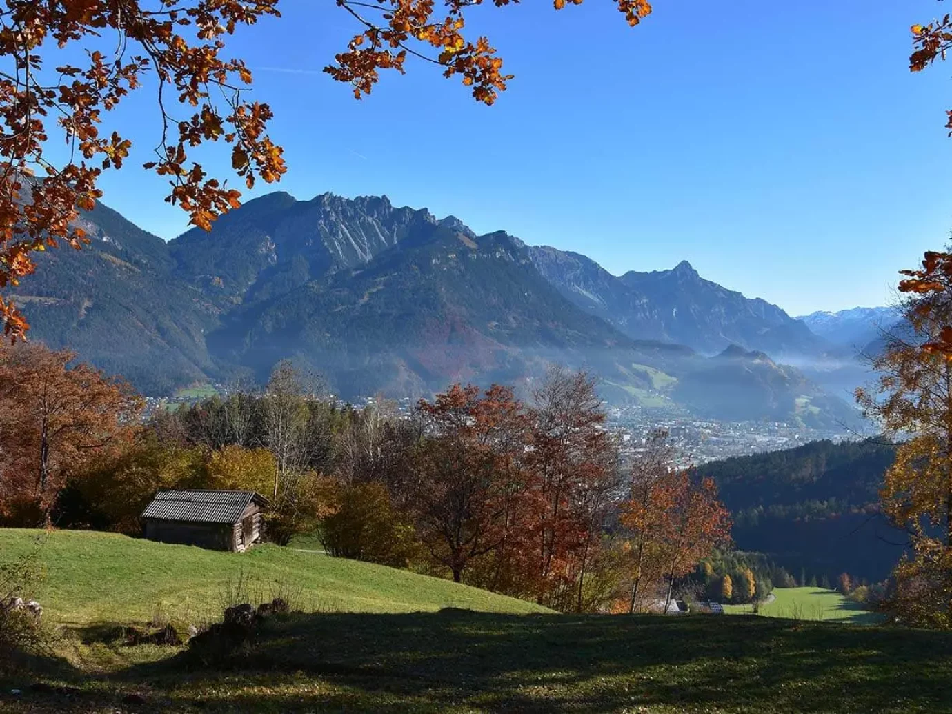
The Kesselfall, a natural monument in Brand, is located in an imposing rocky gorge in Brand. The Alvier falls thundering and foaming through a gorge about 40 m deep. At the finish, you have a breathtaking and unforgettable view of the Kessefall from the dizzying Kessefall Bridge. In the inner valley at the Herz-Jesu-Kapelle, a supply road leads slightly uphill to the Kesselfall turn-off to the right, over into the Bachschlucht, to the bridge over the Kesselfall. The way back leads over the Weißtannenmaisäß and on the Schattenlagantstraße back to Brand.
Starting point: at the end of Brand after the Herz-Jesu-Kapelle
Walking time: approx. 1.5 hours
Easy, short hike to the alp. Alpine experience – animals, alpine products, show dairy. In the show dairy you can watch the dairyman making cheese every day from 9 a.m. from the beginning of June to mid-September. Alpe Rona is the starting point for numerous other hikes.
Starting point: Bürserberg – Tschengla hiking car park
Walking time: 0.25 hours
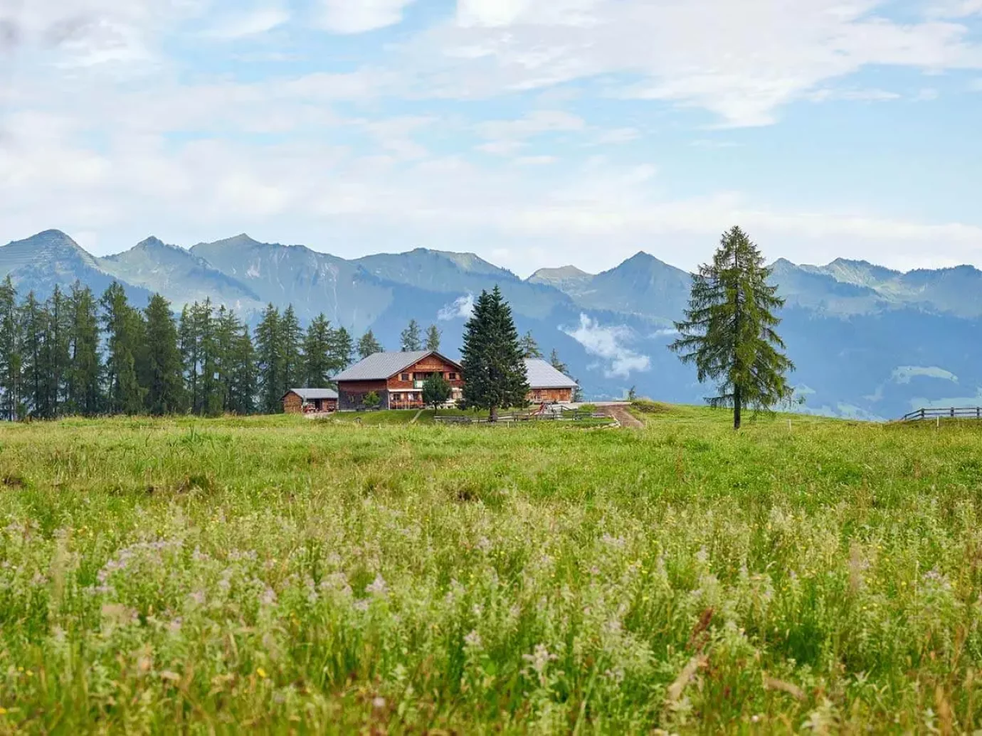
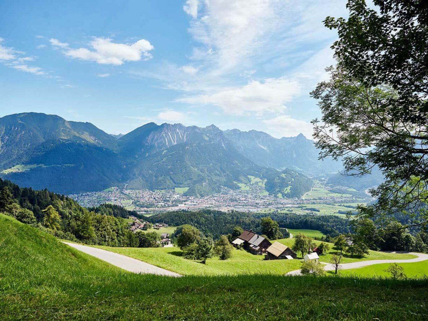
From Zimbapark (parking) walk along Aulandweg, past the campsite to the rear ditch. Then follow the paved path until you come to the Letschaweg (forest path), past the water basin into the Hinterburgweg. At the crossroads, turn right into Werkstraße, turn left at Unterrainweg, then past the Frick nursery, then turn right in the direction of Zimbapark.
Information for wheelchair users: The route is approx. 5 km long and mostly paved and flat, partly on a solid forest path, a section of approx. 100 m with a 10% incline.
Starting point: Zimbapark Bürs
Start at Zimbapark on the Almteilweg. Then cross the motorway bridge to Bludenz. At the Autobahn Police, turn right into Bremschlstrasse, then turn left at the Schrottenbaum carpentry shop into Illstrasse. Walk along the Ill over the pedestrian/bicycle bridge, turn left and follow the cycle path to the pedestrian/bicycle bridge* (Quadrella), back along the Ill on the Bürser side. There you walk a short distance along the main road back to Zimbapark.
Information for wheelchair users: The route is approx. 6 km long and mostly paved and flat. There is a small incline (Radbrücke driveway). * This variant could also be extended further into the Walgau (Nüziders, Ludesch, Thuringia, Bludesch, Nenzing etc.).
Starting point: Zimbapark Bürs
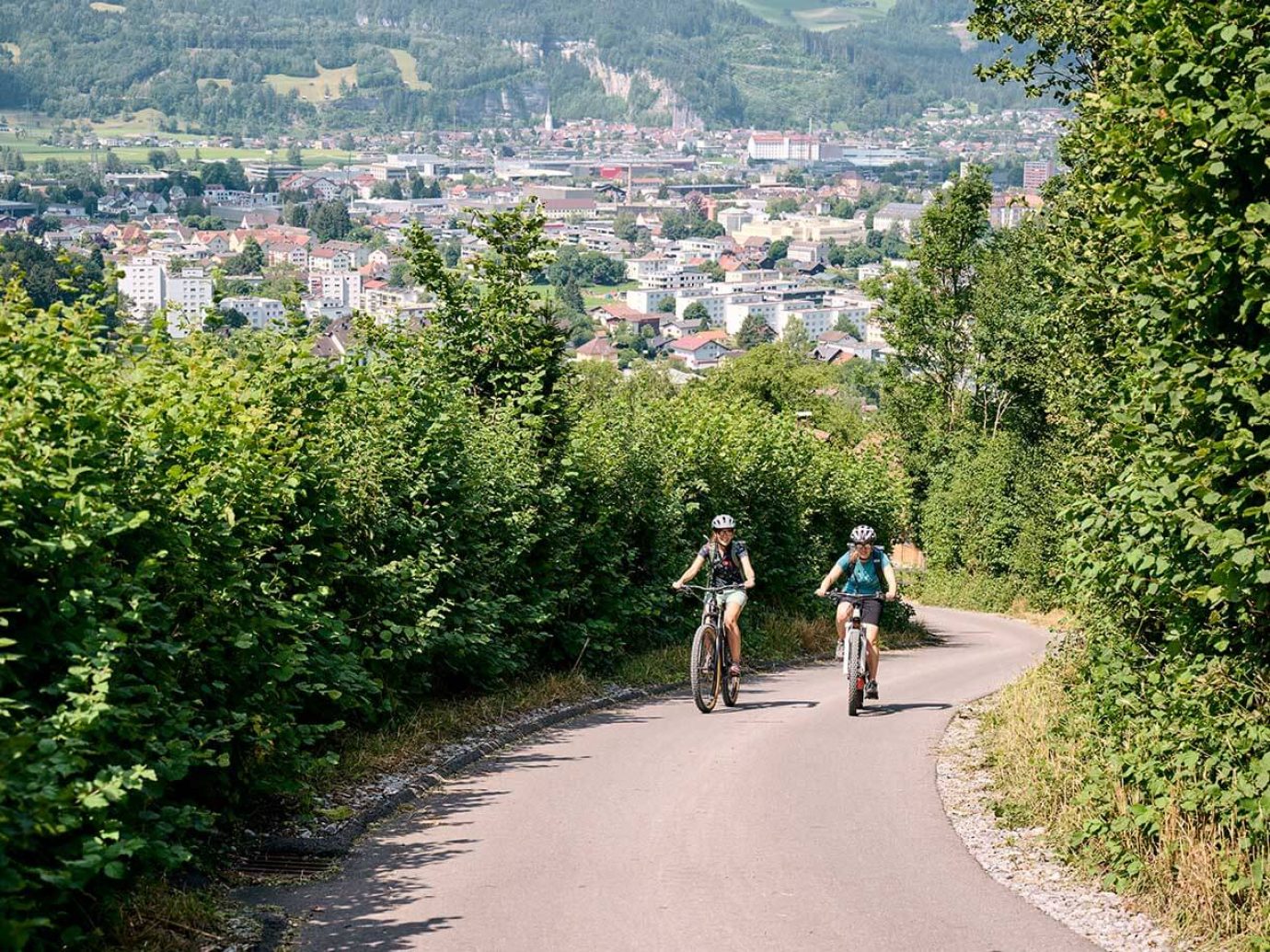
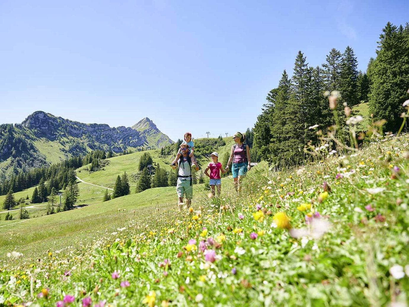
The trails begins by the Dorfbahn and leads on a supply road to the inner Parpfienzalpe, the starting point of the Parpfienzrundweg. Shortly after the alp, turn off the path in the direction of Niggenkopf and hike up the valley on the south side of the Lorenzitäli. At the highest point of the hike you cross the stream, from there a road leads back to the Parpfienzalpe below extensive pine fields. This hike is worthwhile, especially in early summer, due to the abundance of flowers. The flora in this area was praised by botanists as early as the 19th century. Tip: Instead of the Dorfbahn – Parpfienzalpe goods route, we recommend the “Barefoot Trail”.
Starting point: Dorfbahn Brand mountain station
Walking time: approx. 1.25 hours