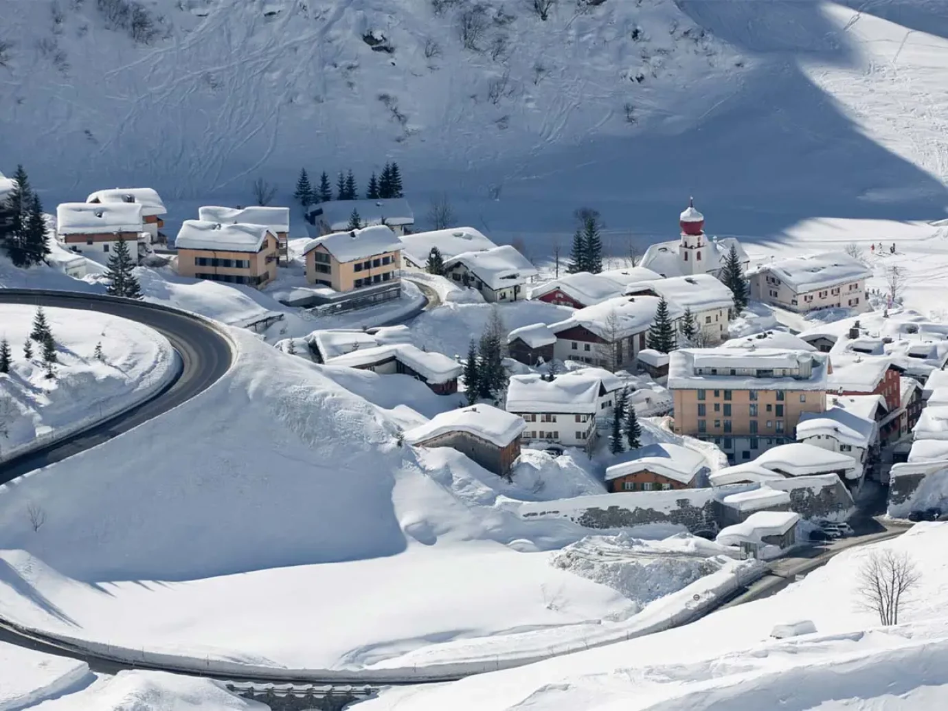
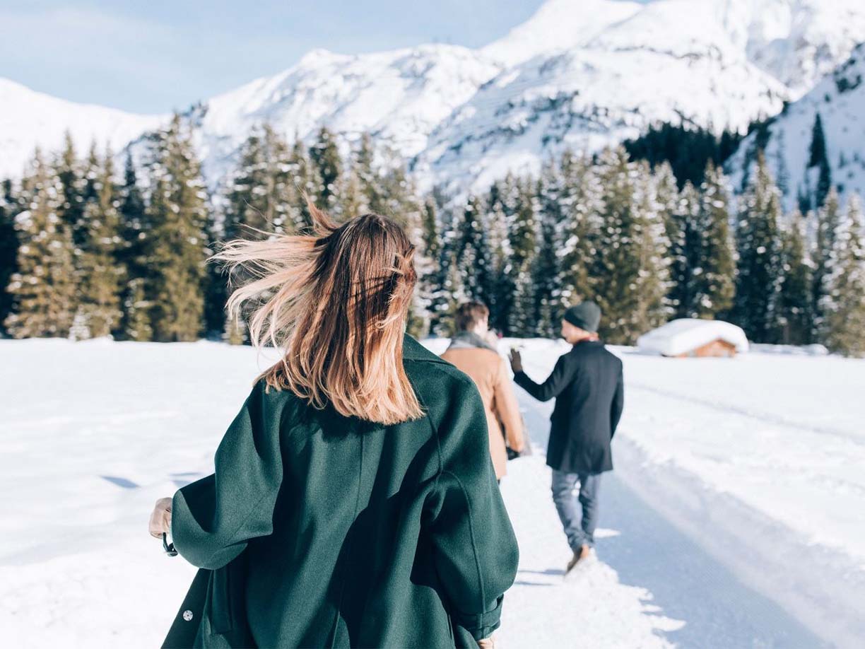
In winter, the towns around the Arlberg region are ideal for magical winter hiking in the snowy landscape of Lech am Arlberg. The snowflakes float down leisurely, the fresh snow crunches gently under your shoes, while no tracks break through the pure snow carpet in front of you. Despite the winter cold, you can feel a cozy atmosphere in warm winter clothing between the lightly sugared fir trees and the majestically snow-covered mountains.
In Lech Zürs the hiking trails extend to around 40 km. Narrow paths and well-groomed winter hiking trails wind through the steep mountain slopes, snow-covered forests and along the often frozen Lech. Here you will find a few recommended hiking routes.
In Stuben am Arlberg there is a small but attractive winter hiking trail that takes 30 minutes to an hour, depending on the route. The route offers the opportunity to get in the mood for the upcoming day of skiing or to come back down after an exciting day on the slopes. The path is also a good alternative in bad weather or as a relaxing walk with your four-legged friend. The starting point is at the Stubner underground car park.
Here you can find a map of the route:


This winter hiking trail is very suitable for families with small children as it is comfortable. You start here at the old wooden bridge, towards Zug and cross the street at the chapel. Then we cross a narrow bridge over the Lech. Here you follow the well-marked winter hiking trail along the banks of the Lech towards the town. Then it goes uphill to the houses of Lech. Finally, it goes down through a sparse forest back to the banks of the Lech, where the Lech is crossed again and a wide clearing leads to the road towards Zug. From this section, the winter hiking trail follows the course of the road to the center of Zug. In total you will be here for around half an hour.
Here you can find a map of the route:
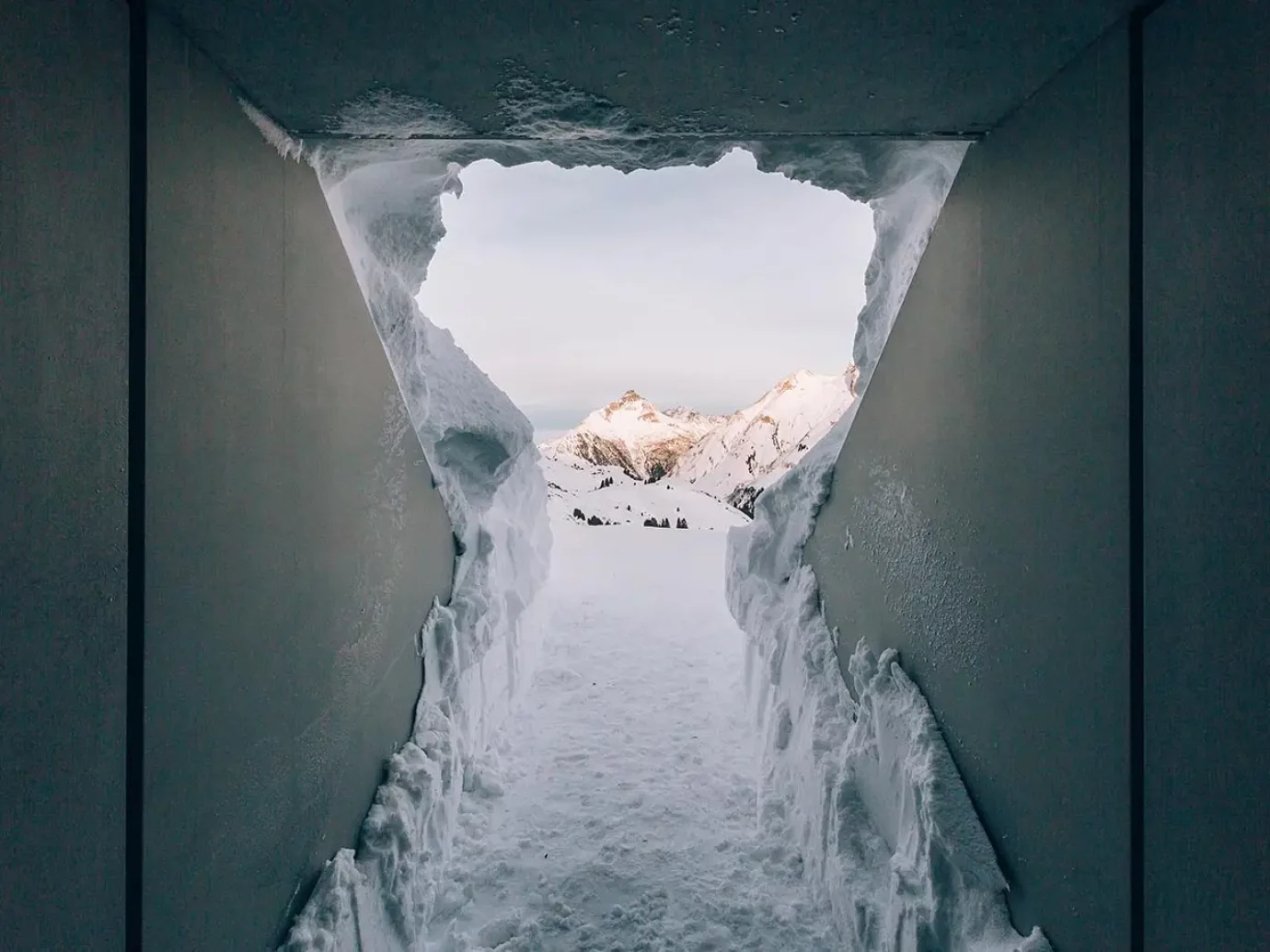
You should plan around an hour for this. During the snow hike you can look forward to the walk-in installation, which delights visitors beyond their borders. We started at the valley station of the Oberlech cable car, where you then cross the Lech. Then turn right, follow the path to the main road and turn left along the signposted hiking trail. There you follow the path uphill through the forest. There you will immediately reach the first highlight of the hike, namely the great viewpoint with a view of Lech. The path then initially leads uphill and you reach Oberlech after about 40 minutes. The path continues along the Oberlech cable car to Skyspace. The option is to continue on the winter hiking trail or to descend the same route back into the valley to Lech.
Here you can find a map of the route:


You start from the Schlössle bus stop and follow the signposted winter hiking trail, which winds up the mountain to the right. You quickly reach the “Guggisköpfe” viewpoint. The path continues past the mountain station of the Schloßkopfbahn and the Schottenhof. Then turn right towards “Tannegg”. Soon afterwards the path branches off again to the right and takes you to the valley station of the Weibermahd-Bahn. From here the path meanders in a loop with pleasant ascents and descents over the Gaisbühel plateau. After reaching the Gaisbühelalpe, the path leads back to the valley station of the Weibermahd-Bahn. From here you follow the already familiar route back to Oberlech to the Schlössle bus stop or treat yourself to a break with a coffee on one of the sunny terraces.
Here you can find a map of the route: